A survey, the primary purpose of which is to document the perimeters, or any one of them, of a parcel or tract of land by establishing or re-establishing corners, monuments, and boundary lines for the purposes of describing the parcel, locating fixed improvements on the parcel, dividing the parcel, or platting.
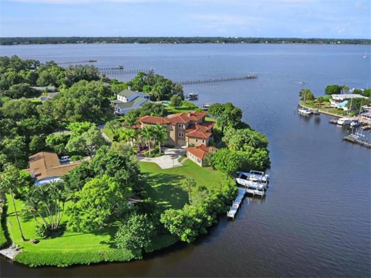
A boundary survey meets the needs of real estate closings, permitting, or personal use. Boundary surveys show the boundary lines of a parcel of land and all permanently attached structures. Structures include, the residence, drives, walks, air conditioning pad, lanai, fences, drainage structures, pools, and fences. The boundary survey will show the distances from the residence to the boundary lines and the distance from the property line to the access street. Boundary surveys include information regarding the parcel of land. Information shown includes: legal description, parcel identification number, section, township, range, and flood zone information. View an example of aBoundary Survey.
Elevation Certificates
Elevation Certificates are required to obtain flood insurance or to complete the permitting process of a parcel of land in a flood designated area. In our service counties the designated flood zones are "A, AE, and V" zones. Elevation certificates indicate the elevation of the finished floor in comparison of the base flood elevation as determined by the Federal Emergency Management Agency. Current elevation certificates indicate the property information, latitude and longitude of the subject property, along with 4 color photos of the current condition of the subject property. Feel free to view the Elevation Certificate form and instructions.